Note: I’ve started a new category “Great Hikes” which features especially good hiking experiences in native habitat and wildlife (for now in Southern CA.)
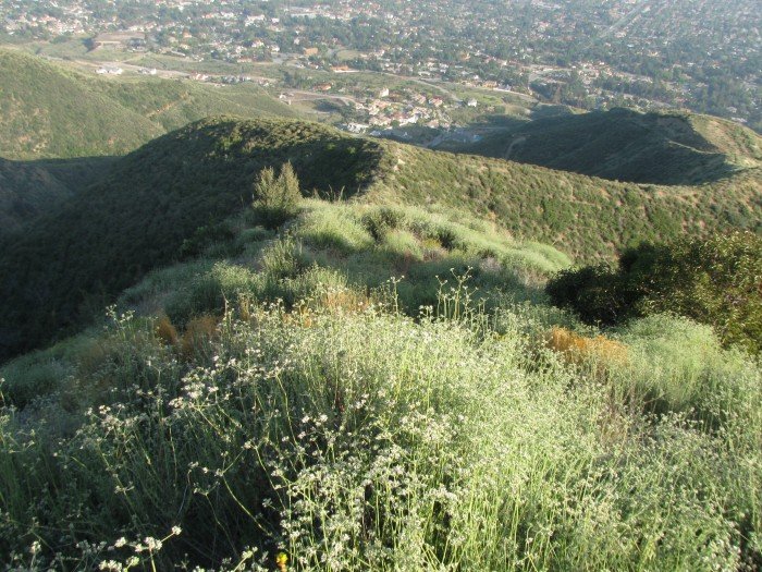
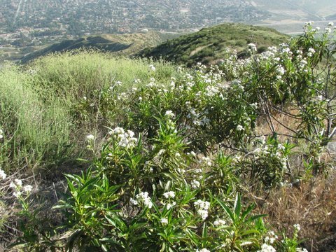
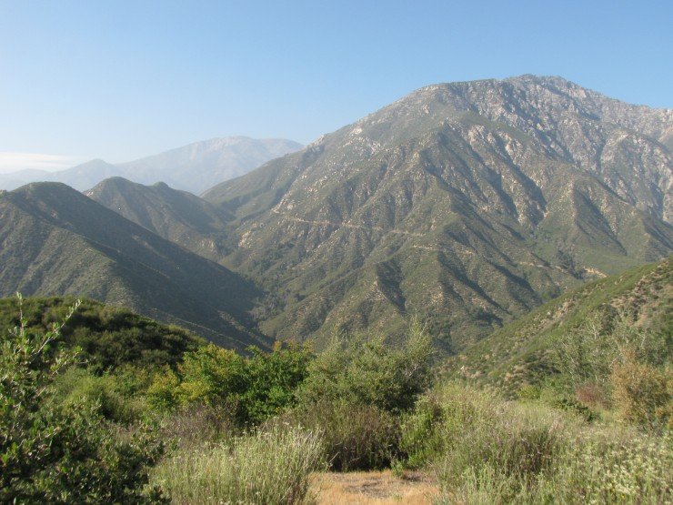
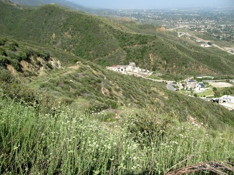
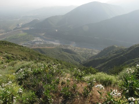
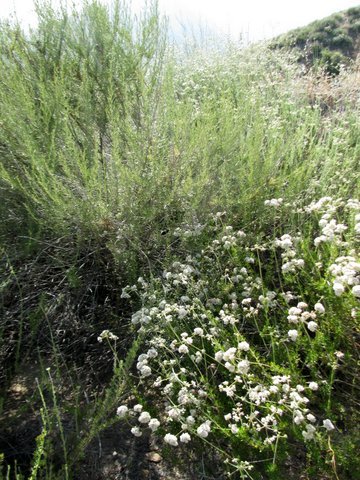
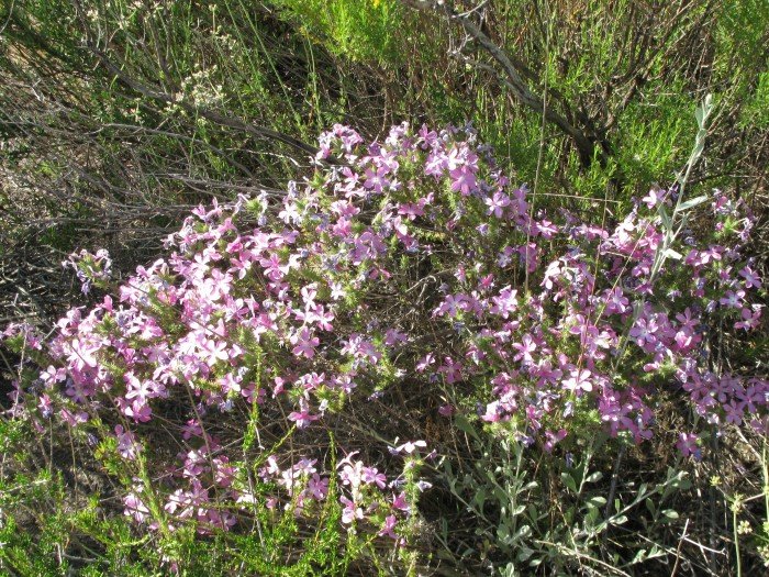
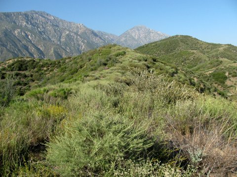
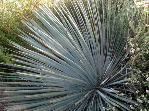
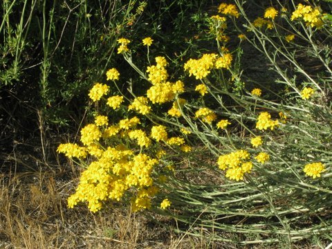
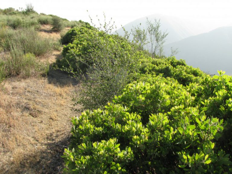
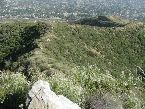
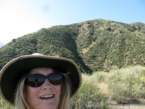
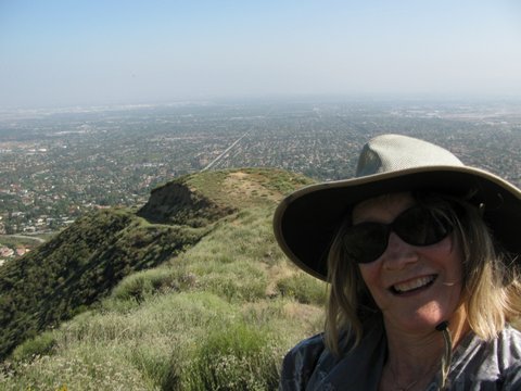
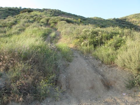
I tend to prefer hikes where I have the place to myself. Frankish Peak north of Upland CA satisfies that need, and a recent May late afternoon hike resulted in zero fellow hikers but multiple wildlife sightings amidst beautiful scenery. It’s very steep however, rising 1900 feet in 2 miles, so keep that in mind. (it’s also why there are so few people…) Highlights: the hilltop effect of mating butterflies, particularly three Red Admiral butterflies chasing one another (two males and one female), illustrating how butterflies congregate on tops of hills for their mating rituals. Also, the cascading call of the canyon wren and the beautiful blooming chaparral and views of neighboring Ontario Peak. Photos below:

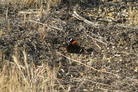
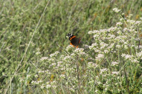
Wildlife sightings: Lots of birds (California quail, canyon wren, bushtits, lesser goldfinch, dark-eyed junco, California towhee – many others I couldn’t id), lizards, mating butterflies towards the top. Also deer tracks and plenty of coyote scat.
Distance/Trailhead: 4 miles to the top and back but can do shorter. The unmarked trailhead is off Euclid Avenue, at a turnout right across from the San Antonio Dam road (where the road curves north to eventually go up to Mt Baldy)
Your pics of plants and flowers was helpful. I live just down the road from this trail. I haven’t gotten to the top yet, but I will soon.
it’s likely hot up there so go early or late in the day
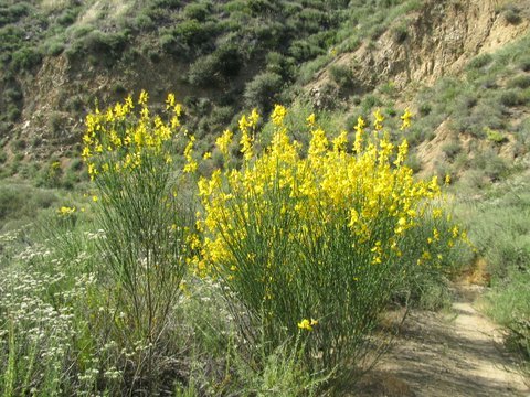
What do you mean about Spanish Broom being invasive? You mean that it can obstruct trails?
an invasive plant means it grows out of control and crowds out native plants that would normally grow there. Most are non-native plants that also aren’t part of the natural ecosystem.