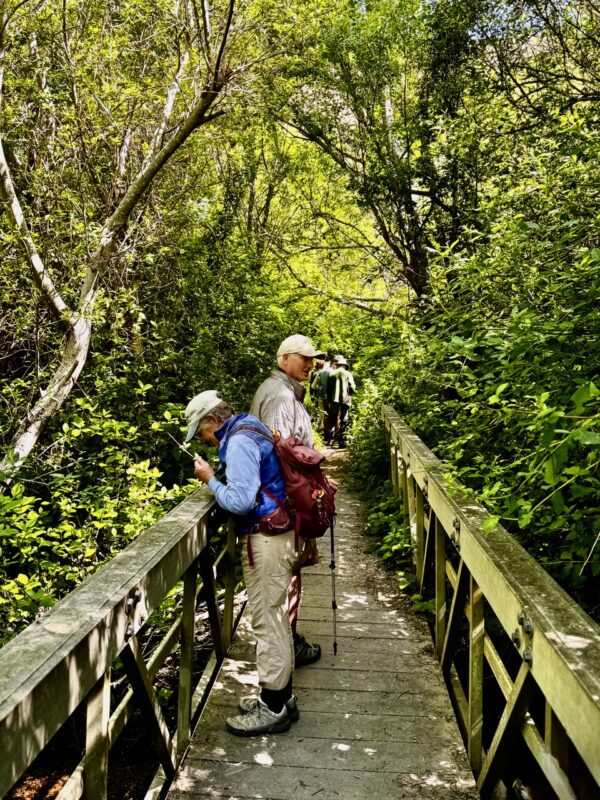
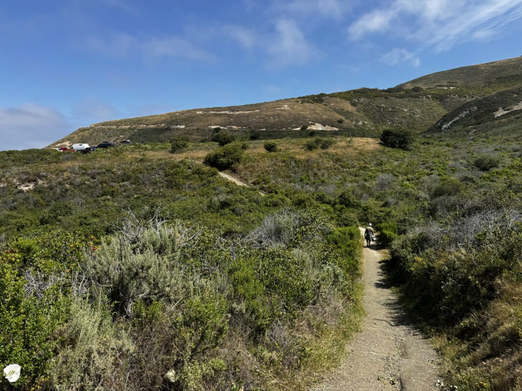
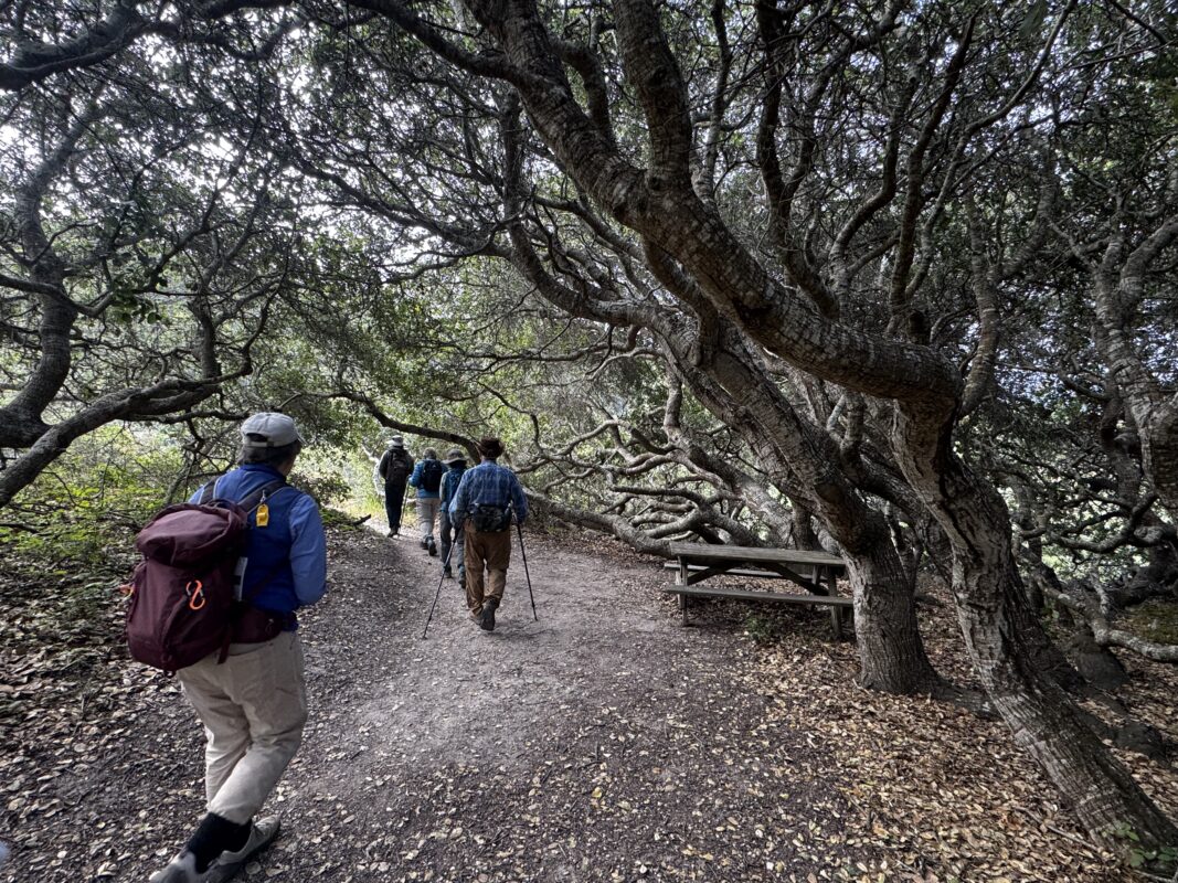
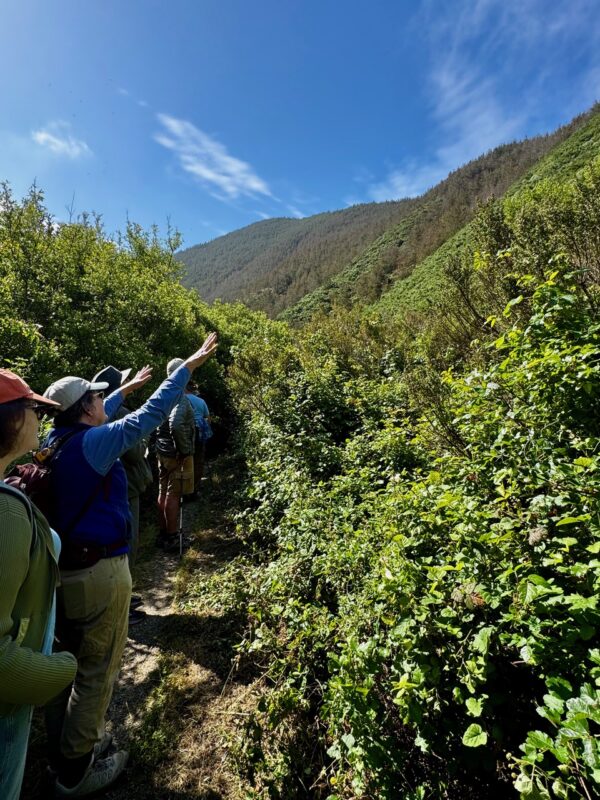
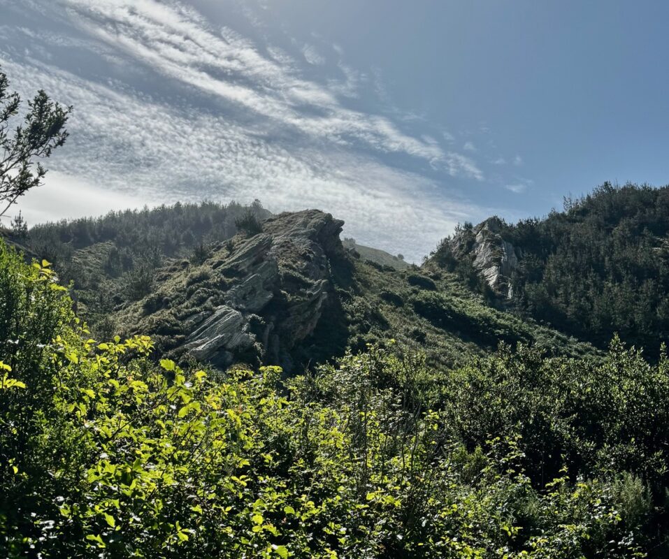
A quick article today about a special 2 mile walk yesterday with the local California Native Plant Society – San Luis Obispo chapter (CNPS-SLO) in Montana de Oro State Park — an amazing coastal park. We hiked the Coon Creek trail whose main feature is a year-round creek that originates in the rugged, forested canyons above and runs through a shaded coastal canyon. What a lush riparian ecosystem it supports. Only 10 of us, we learned a lot from botanist David Ledger who led the walk.
My Cool Plant Highlights
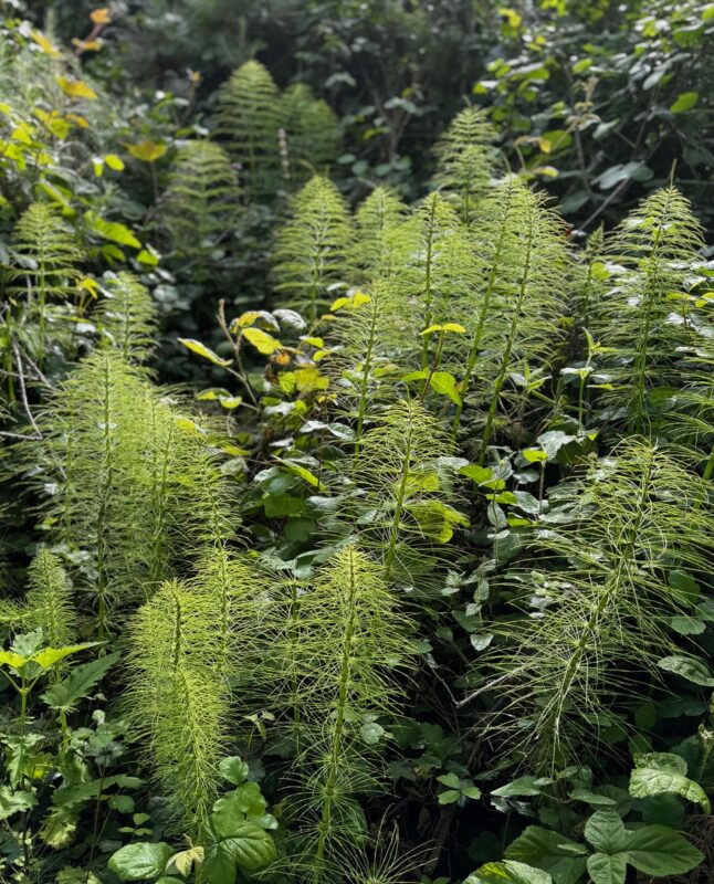
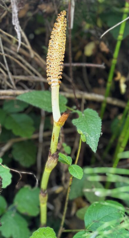
Common Horsetail (Equisetum arvense) – did you know these ancient plants go back 300-500 million years, and they evolved from towering trees with their small descendants residing in wetlands.
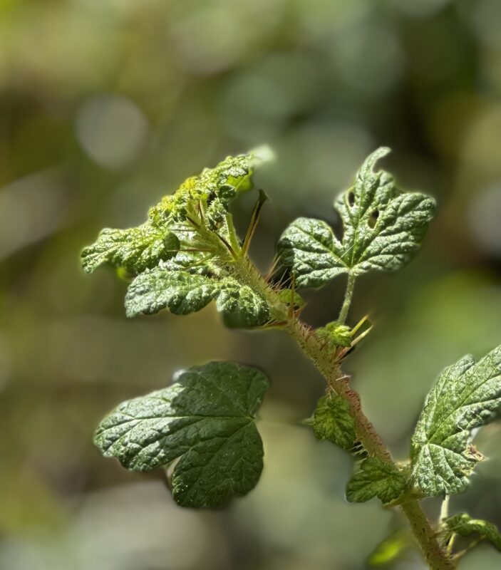
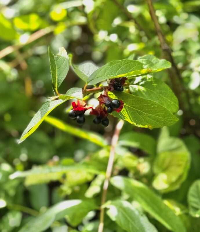
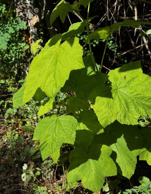
Coast Twinberry – There are 3 varieties of twinberries in CA – we saw Lonicera involucrata var ledebourii called (Twinberry Honeysuckle) on Calscape – its yellow/red flowers and its dark fruit comes in twos – very noteworthy. My other favorite shrub was Thimbleberry (Rubus parviflorus) with its large leaves, and berries that are related to raspberries and blackberries – come back in the summer for those.
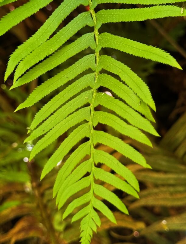
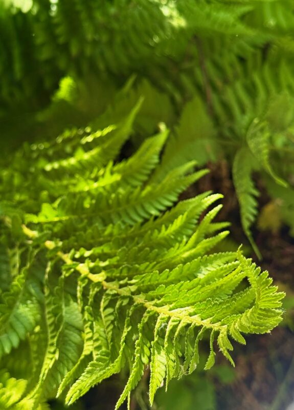
Ferns! We saw three — Western Bracken fern, Coastal Wood fern and Western Sword fern so it was a great place to differentiate them. See below for the little ‘swords’ on the latter.
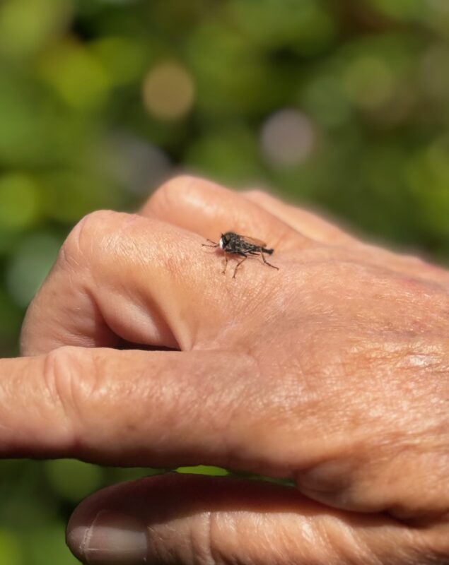
Insects/Butterflies/Birds – we were concentrating mostly on learning the plants but the riparian area’s continual water, thickets of Arroyo willows — a keystone species because it supports so much wildlife– plus other shrubs and trees means multiple insects (see robber fly below) and multiple birds (Black-headed grosbeaks, California thrashers, hummingbirds, wrentits) and many we heard but didn’t see.
There are many many more – go see for yourself….(David had over 120 native plants identified on a list – contact me if you would like a copy of it, and those aren’t all)
Favorite Photos
Cindy Roessler, one of the leaders, and an active volunteer with the local CNPS-SLO chapter, recommended the trail during hot summer months, saying the coolness of the riparian canopy and running water makes for a pleasant experience year-round.
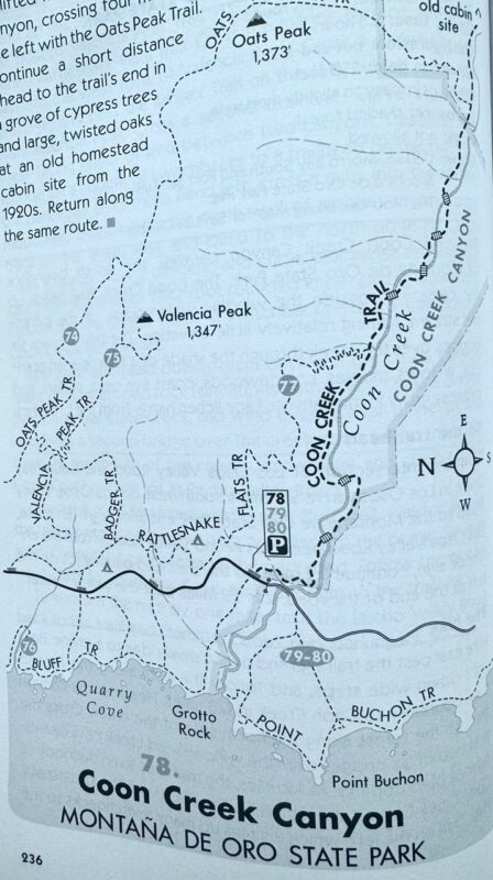
To get to the hike: Take the Lost Osos Valley road to the park entrance, where it becomes Pecho Valley Road – the only way to get there. Continue to the end of the road, 3.9 miles to a large parking lot from the left where other hikes lead from too (such as the beautiful but hotter Point Buchon Trail along the coast – you can see Coon Creek enter the ocean from that trail). For variety you can hike back on the Rattlesnake Flats Trail to see chaparral and coastal scrub but it’s good for even a short walk.
Leave a Reply